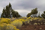
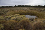
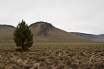
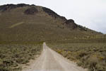
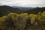
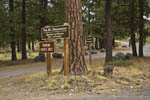
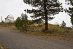
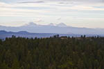
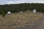
I love the back roads. Maybe it's the sense of adventure, or the accomplishment of navigating a spider's web of roads and coming out where you want to on the other end. In this case I couldn't find a printed map to begin with. So, I enlisted the support of Google Earth. I could see the roads I wanted to travel, so I put pins in the map at each intersection and labeled it with 'left' or 'right' or whatever manouver was required. I then translated this list into my iPhone GPS as waypoints. It was actually a fairly amazing trail to follow. Every time I reached an intersection I could look at the GPS and it would tell me which way to turn.
At first I thought the whole idea was not going to pan out when we encountered our first closed gate. Many of the roads that appear on maps cross private property. They are marked with 'No Trespassing' signs. I was parked at the first gate/sign when we encountered when another vehicle came through. They explained (true or not, I don't know) that it's not legal to block access to forest service roads, so you just open the gate, ignore the 'No Trespassing' sign and go on. Just don't let the cows out. A few hours and a hundred and some odd miles later we were in Prineville...
